GIS-ready GeoTIFF
Download rasters coloured to match the preview, or as raw 32-bit values. Georeferenced for QGIS and ArcGIS.

Scene analysis
Search the imagery catalogue for any rectangle and date range, from more than a decade ago to this week. Every capture gets a plain-language summary, and any scene can be rendered, compared and exported, all on one screen.
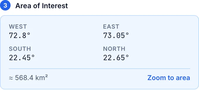
Choose a product, a date range and an area. BluVerify lists every capture with its cloud cover, so the usable scenes are obvious before anything is downloaded.
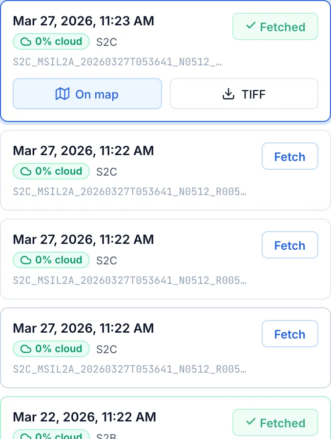
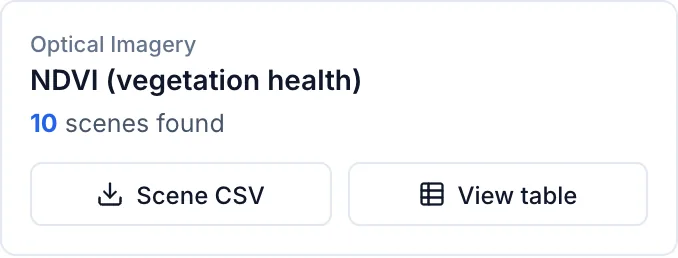
Every search saves a scene report: one row per date, with readable column names, real units, a data-quality grade and a one-sentence summary of what was measured.
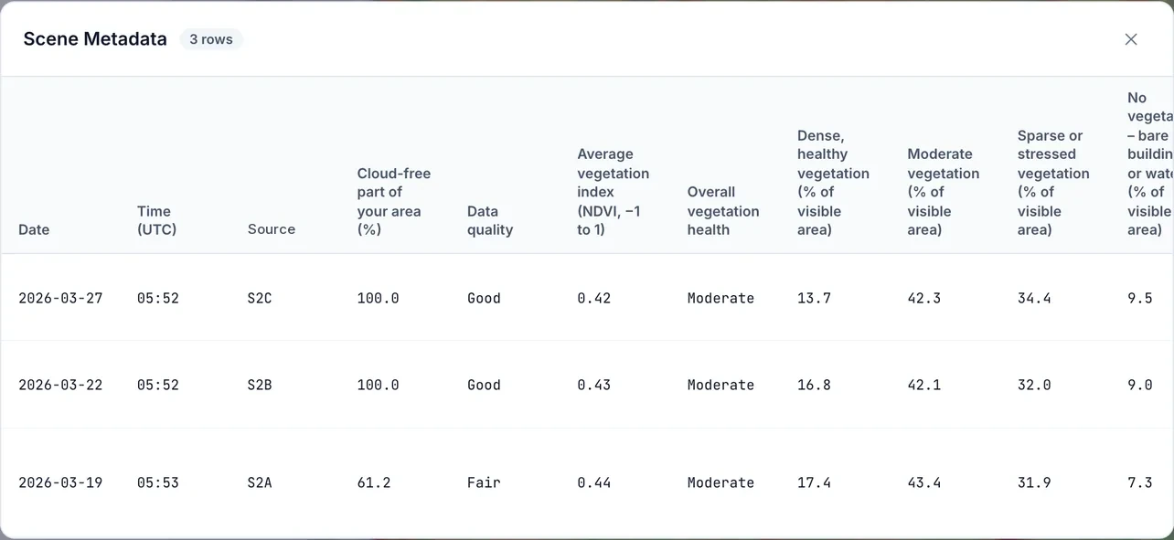
Fetch two or more scenes and review them in four synchronised views.
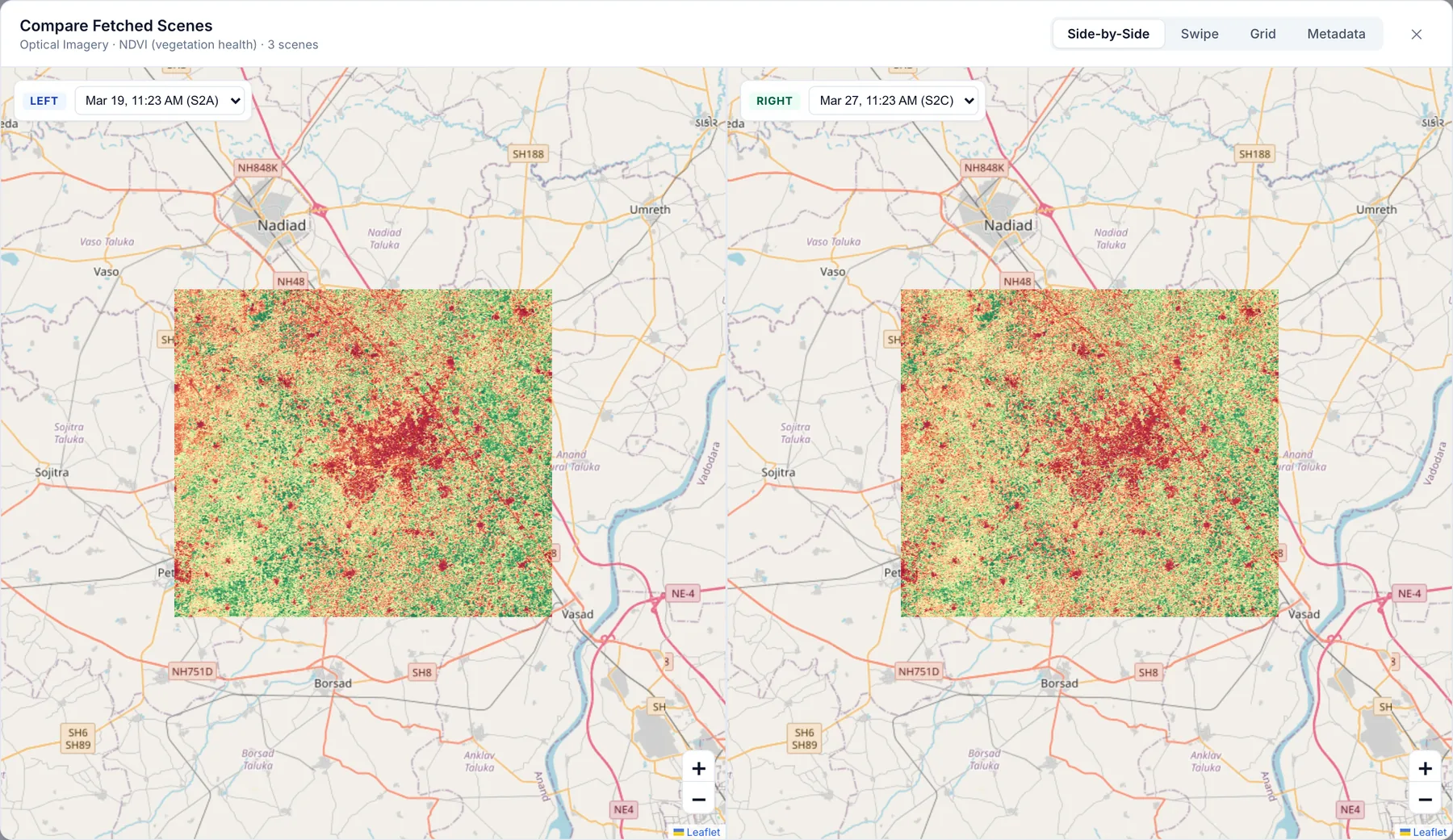
Side-by-side: two synchronised maps with a scene picker on each.
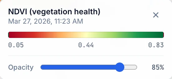
Download rasters coloured to match the preview, or as raw 32-bit values. Georeferenced for QGIS and ArcGIS.
The plain-language report for every search, saved alongside the rasters for audit and reuse.
Merge the reports from earlier searches into one chronological table, including older report formats.
What you can search
Each product is measured over your area and rendered on a consistent, legend-backed colour scale.
BluVerify opens straight to the map. Draw an area and your first report is a search away.